Please visit the new cemetery page which covers fourteen ZJC cemeteries including Pioneer St. – click here
The first recorded Jewish Grave at the Pioneer St Cemetery in Harare is dated 1901.
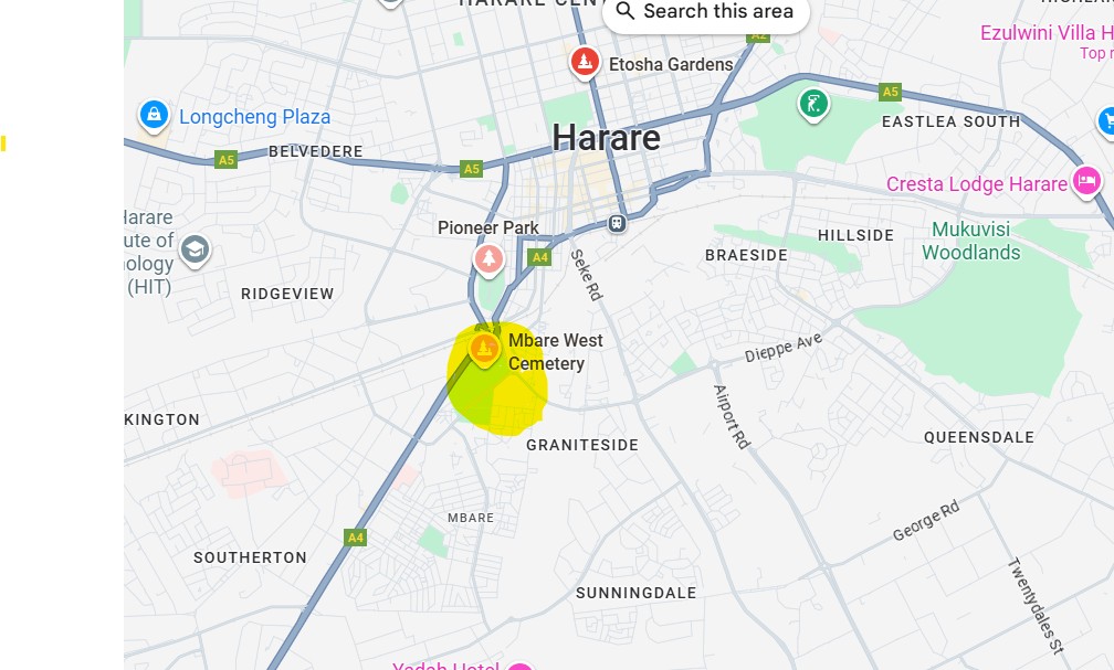
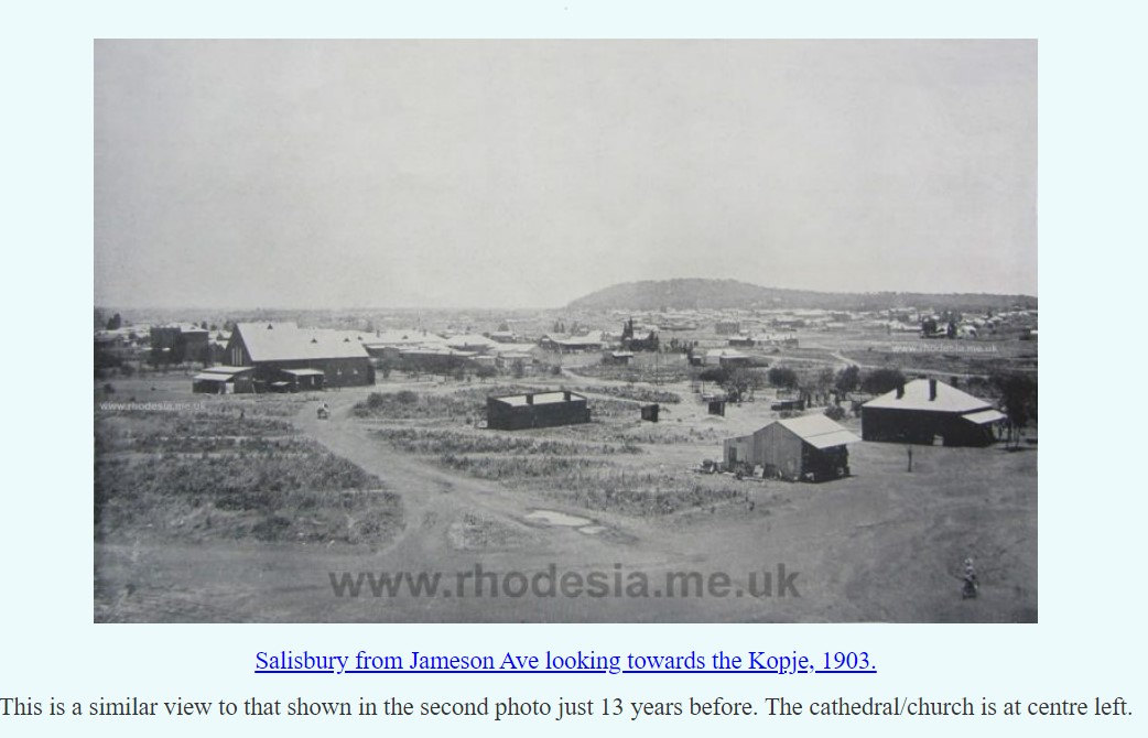
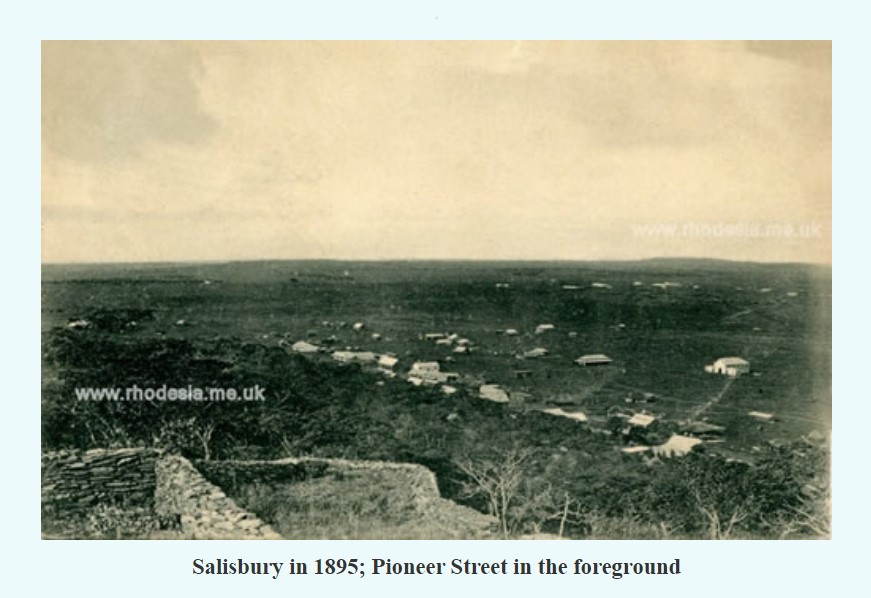
The cemetery is located on Pioneer St at the foot of Harare’s Kopje (Afrikaans name for hill) an unusual hill which sticks out of the surrounding landscape rather abruptly. Today the road leading to the cemetery continues to the main industrial area of Harare. According to legend the Kopje was mistaken by the first white settlers who were supposed to head for another hill called Mount Hampden some 15 kms north west of the current kopje and make camp there. This error in navigation led to the town of Salisbury (now Harare) to grow up around the Kopje which also acted as a natural lookout and provide the advantage of a natural fortress in case of need.
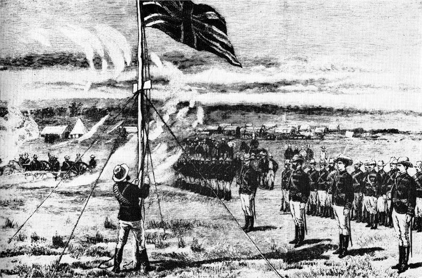
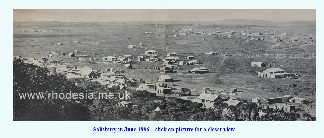
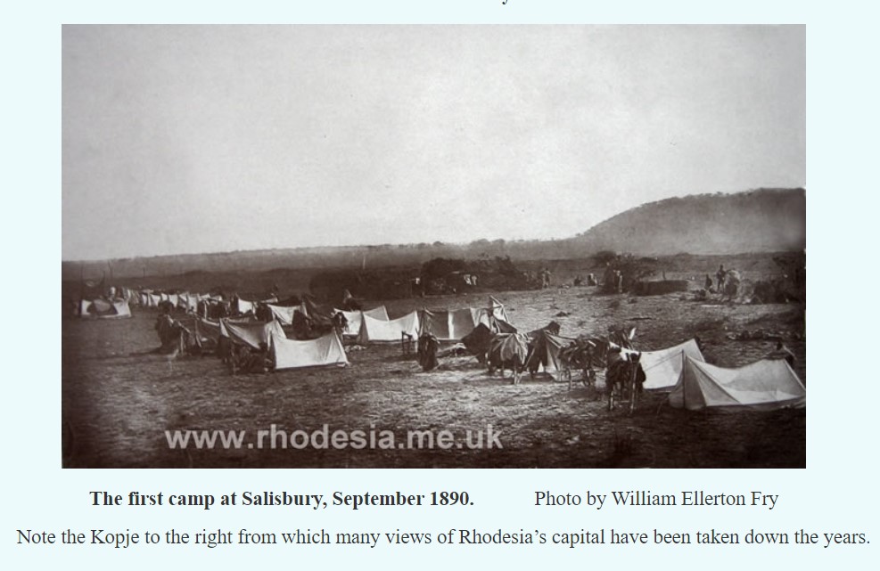
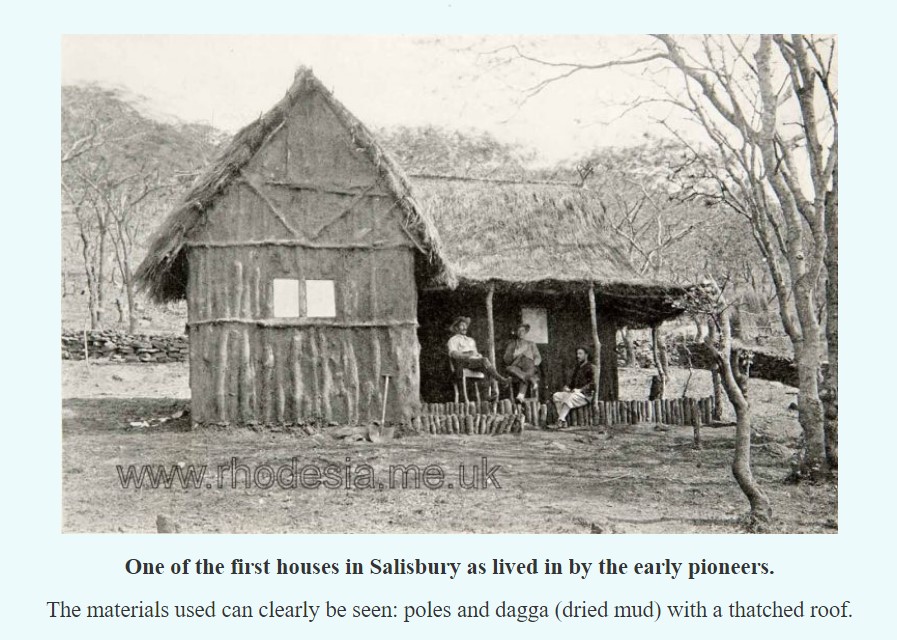
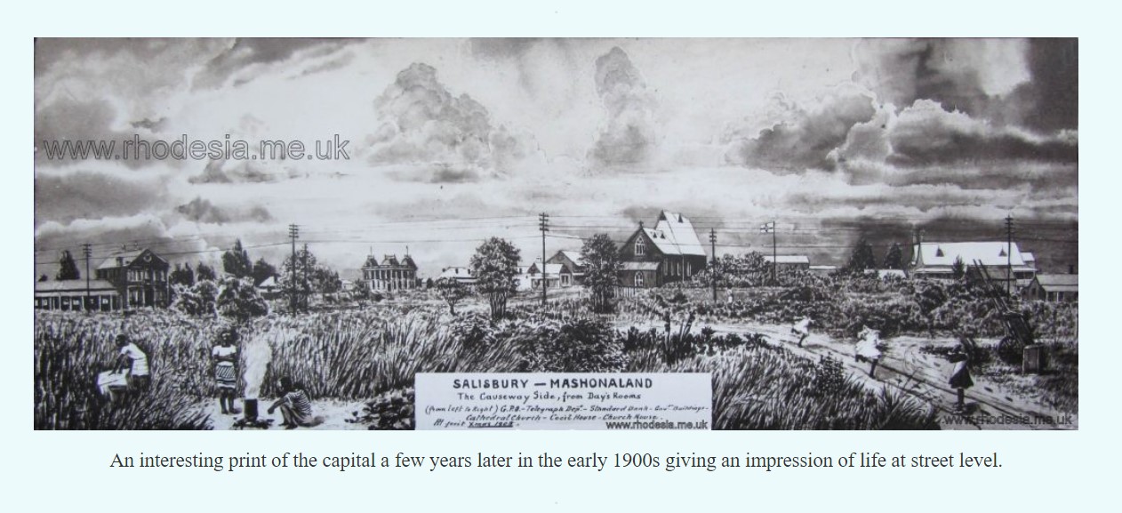
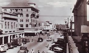
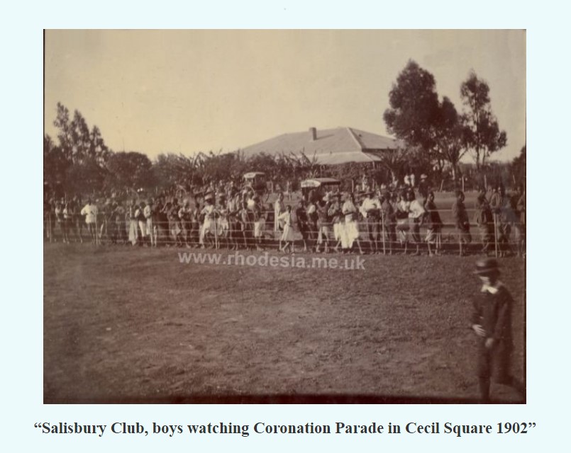
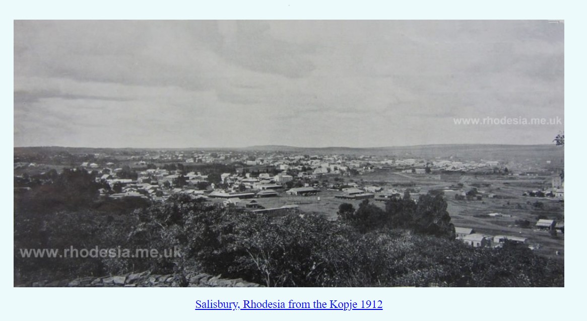
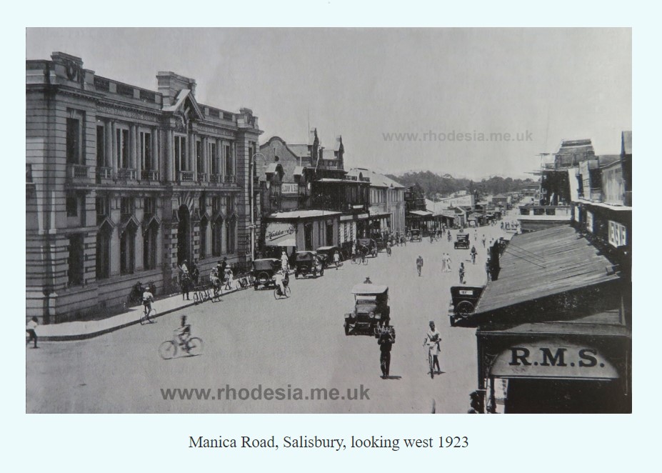
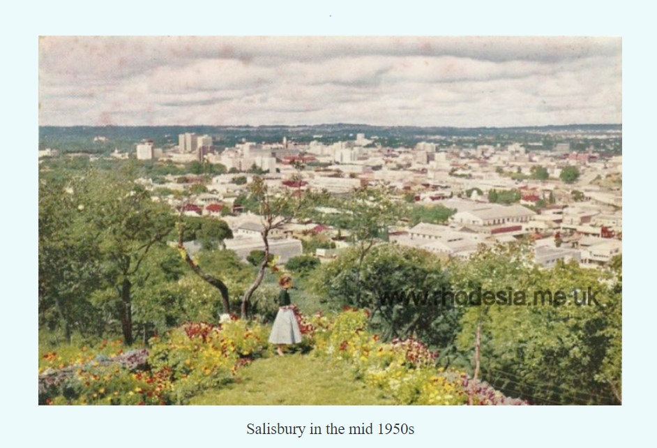
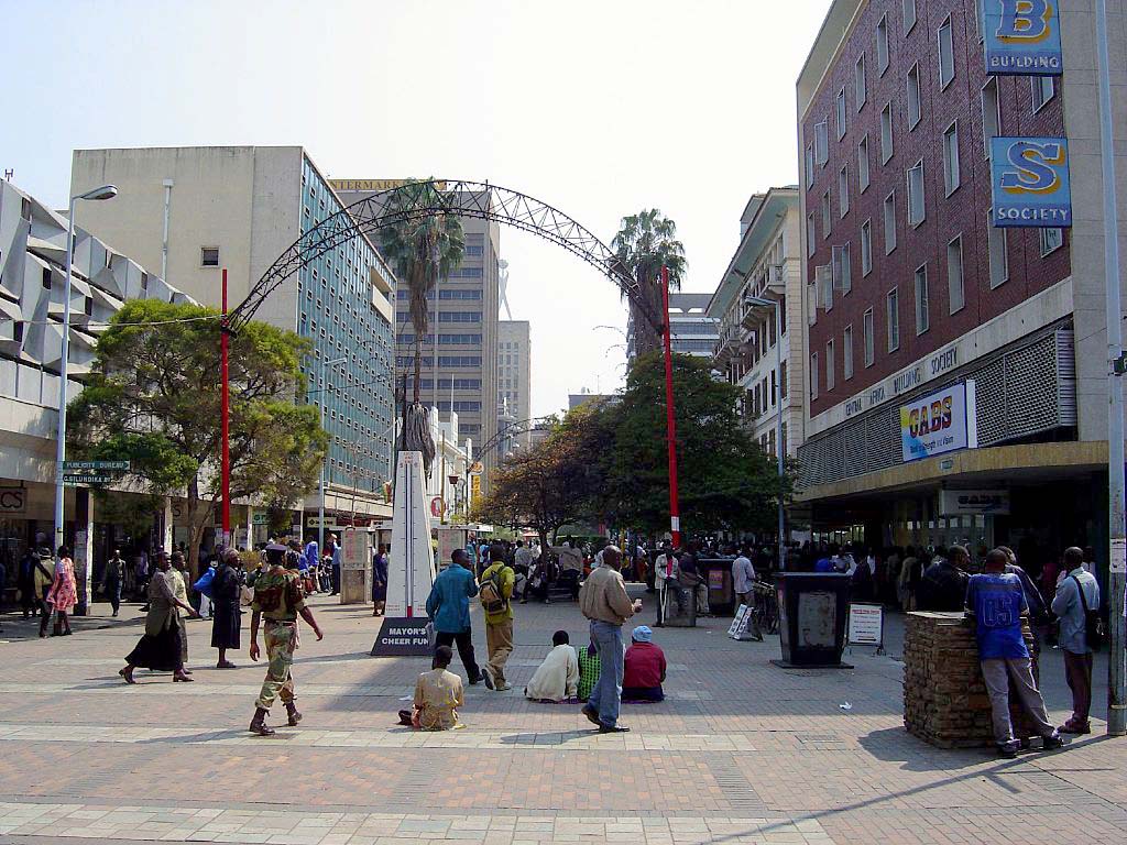
On the right is a gallery of Pioneer St and Harare (Salisbury) photographs since the 1890s until current times.
The cemetery is well looked after by the Harare Jewish Communities. Coordinates: The cemetery is located at approximately -17.85082 latitude and 31.03852 longitude. See map below. It’s a peaceful spot where memories endure.
If you have any specific requests or can provide additional information related to this cemetery, feel free to ask via the form below.
Photos on right courtesy https://www.rhodesia.me.uk/salisbury
The Pioneer Column, led by Lieutenant Edward Tyndale-Biscoe, arrived in Salisbury (now Harare) on September 13, 1890. The Union Jack was raised over Fort Salisbury the day before, on September 12, marking the start of Company rule in Rhodesia.